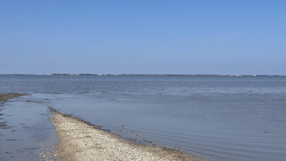
The Red River flood will be 75 cm lower than expected south of Winnipeg, according to the Manitoba government. However, water levels will remain high for a long time in the south and center of the province.
According to the province, flooding is expected between May 11 and 13 at the entrance to the floodway. South of Winnipeg, it is expected to reach approximately 2265 cubic meters of water per second, less than in 2009 and more than in 2011.
Highway 75 is still closed north and south of Morris and there are diversions. The province said it expects to receive between 5 and 10 mm of additional rain on Saturday, but authorities do not expect that to affect road conditions.
The province says it will continue to work with Indigenous Services Canada to support First Nations, including Peguis. He said he donated 25 pumps to the community.
So far, 200 Manitobans have had to leave their homes due to the municipal evacuation. This number rises to 1,400 people in the First Nations, according to authorities.
Manitoba also said it continues to monitor flooding, even as water levels begin to stabilize in most parts of the province.
Winnipeg, which earlier this week recommended that 17 homeowners build a dike to protect their homes, changed that directive on Thursday.
Via email, the City indicates that based on the latest provincial forecasts and analysis of our own data, there is no need to build leves right now.
The City remains in touch with these owners and will notify them if the situation changes.
Also, the level of the Red River in Winnipeg dropped from nearly 19 feet on James Avenue on Saturday to 17.3 feet on Thursday.
A farmer who patiently accepts his problems
Paul Sabourin, a farmer from Saint-Jean-Baptiste, located 60 kilometers south of Winnipeg, must patiently accept his problems. His farm was flooded in 80% of its area.
Normally, we should see black fields ready to sow, but here we see a lake. We have not seen such a situation in the latter part of the year. It usually takes a month after a flood to get stuck in the fieldsexplained Mr. Sabourin.
This situation means he has to change his cultures.
We’re going into short-term harvests. We can no longer sow sunflower or Indian corn. We adaptMr. Sabourin resigned.
In general, he said, it is better to sow in April and May, but now it is more in June.
Farmers must be almost sown by the end of June to receive insurance money from the Manitoba Agricultural Services Corporation (New window).
Government officials visited Peguis
Provincial and federal government officials traveled to Peguis First Nation on Thursday to witness the extent of this year’s flooding.
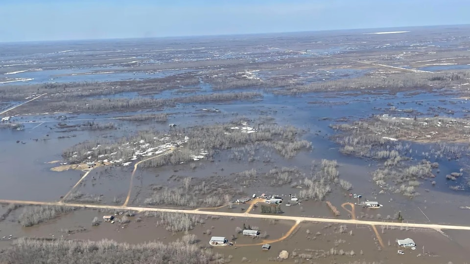
The community in Manitoba’s Interlake region rented a helicopter to get an aerial view of flooding in the area, which was the worst since 1962, according to the province’s transportation and infrastructure minister, Doyle Piwniuk.
I want them to see and understand our reality with their own eyes, and that is why we use this helicopter todaysaid chef Glenn Hudson.
Water levels in the Fisher River rose in late April following heavy rain and ice jams at the river’s mouth last weekend.
Peguis declared a state of emergency last week and issued an evacuation order because flooding of the Fisher River washed away roads and caused leves to fall.
Since Thursday, more than 1,400 people have fled the community to stay in hotels in Winnipeg, Brandon or Gimli.
Meanwhile, the Fisher River in Peguis First Nation is expected to return to its banks on Monday and downstream by the end of next week.
There is information from Jérémie Bergeron, Bartley Kives and Sam Samson
Source: Radio-Canada

